


Explore with us
At Upland we know the hidden gems and backwoods routes you won’t find on a map—plus when to go, where to park and how to get back to the trailhead. Ditch the crowds and let us handle the planning so you can enjoy an unforgettable hike.
Upland nature hikes are 3–6 hours in length, easily paced and appropriate for a wide range of abilities. Most of all, they’re fun! Each trip is like a scavenger hunt where everyone makes discoveries. From birds to butterflies, native wildflowers to rare mushrooms, your guide will answer questions and share info about the diverse wildlife you encounter.
Have fun, learn, and get away from the crowds for a more authentic nature experience with Upland Nature Guides.
Upcoming hikes
New clients — Buy One, Get One 50% Off the Same Hike!
Choose your own adventure
Don’t see what you want on our schedule? Contact Upland for private guiding, or to plan a custom trip. We are also available for nature surveys, workshops, presentations, media appearances and more.

Jeff Priest is a hiker, paddler, naturalist and photographer based in the Ottawa Valley. As Upland’s head guide, Jeff delights in sharing the best of Ontario’s highlands with people from far and wide. He has documented over 16,000 observations of local flora and fauna, including 2,400+ confirmed species and at least one first in Canada. Jeff’s nature photography appears in books, periodicals and magazines.
Certifications:
Member:
News & trip reports
-
Twice Around Rogers Pond At Marlborough Forest
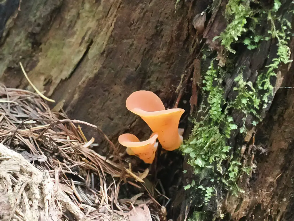
Last week I had an errand to run down in Kemptville, so I checked the maps for a trail to visit along the way. I decided on the Rogers Pond loop at Marlborough Forest. There was only one other vehicle when I pulled into the E3 parking lot. It was sunny and breezy, a beautiful…
-
2026 Adopt-A-Site Loggerhead Shrike Survey

This spring marked my first time volunteering in Canada Wildlife Preservation’s Adopt-A-Site survey, part of their Eastern Loggerhead Shrike Project. The survey sends volunteers to prime habitat to search for loggerhead shrikes (Lanius ludovicianus ssp. migrans), one of Canada’s most endangered songbirds. I was assigned half a dozen sites outside the town of Renfrew, which…
-
Aird Creek MapleCross BioBlitz results

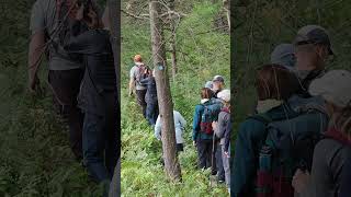
Note: A version of this blog post was published in the July newsletter of the Mississippi Madawaska Land Trust (MMLT). On Saturday, June 27, members of the public were invited to the MMLT’s new Aird Creek MapleCross Nature Reserve for the very first time to participate in a BioBlitz event. Organized by Andrew Dunbar and…


Upland on iNaturalist
|
View Upland Nature’s: iNat profile | Observation map | Observation list | Species observed |
About Ontario’s highlands
Ontario’s highlands stretch across parts of six counties: 1) Haliburton; 2) Hastings; 3) Lennox & Addington; 4) Frontenac; 5) Lanark; and 6) Renfrew. Full of rugged backcountry, this quintessential Canadian landscape is made for outdoor adventure. In addition to hiking, the region is known for whitewater paddling, sledding and ATV runs, fishing, hunting, ghost towns and dark skies.
The highlands is an extension of the Canadian Shield into southern Ontario, characterized by rocky, rolling land with mixed and coniferous forest often featuring eastern white pine. Dating to the last ice age, acidic glacial till underlies much of the land where bedrock is not exposed. There are also areas of base-rich rock such as marble and localized limestone deposits in the east, promoting the development of rare plant communities.
When the glaciers retreated, river valleys like the Madawaska, Petawawa and Ottawa were carved by massive outflows of meltwater from Lake Algonquin, leaving evidence in glaciofluvial landforms such as eskers and kames. The highlands region is home a mix of boreal and temperate plants and animals. This rich biodiversity is only enhanced by its location along the Algonquin to Adirondacks migration corridor.
Indigenous land acknowledgement
The highlands region is the traditional unceded territory of the Algonquin Anishnaabeg people. In the west, the highlands are also on Ojibwe territory. In the southeast, the highlands are also on Mohawk territory. We pay respect to all Indigenous people in this region, from all nations across Canada. We are grateful for their stewardship of the land from time immemorial. We acknowledge the traditional knowledge keepers and we honour their teachings.
To learn more about this region’s Indigenous heritage and how you can get involved in reconciliation, please visit the Algonquins of Pikwakanagan First Nation.
